No products
Prices are tax included
Check out
Sign up for our Newsletter
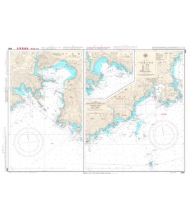
W96 Shimoda Ko and Approaches
Maryland Nautical uses cookies to enhance your e-commerce experience. To view more information about our cookie use, click here to view our Privacy Policy.


, 17th Edition 2020")
, 11th Edition 2017")

")


: 2019 South Atlantic Ocean and Indian Ocean, 14th Edition (2019)")
, 17th Edition 2017")
")
, 17th Ed 2017")